Activities
Find the description of all the projects of the GeoRiskA team on the AfricaMuseum website.
-
Current projects
GeoRiskA is currently leading several research and scientific cooperation projects. Below, a focus is provided for four of them, along with a brief description of the others, with a link to their dedicated website when available.
-
GeoRiskA has carried out several projects over the past 10 years. The main ones are presented here.
-
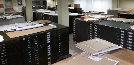
GeoRiskA is currently in charge of two major collections which concern Africa: a map library referring more than 25.000 documents whose many are rare if not unique, and a collection of more than 300.000 aerial photographs covering DRC, Rwanda, and Burundi acquired between 1947 and 1974. The metadata of a large part of these collections are available in the on-line RMCA geocatalogue.
A database on natural hazards and associated disasters occurring in the Kivu region since December 2019 is also the basis for the development of a web-GIS accessible below.
 RMCA geocatalogue
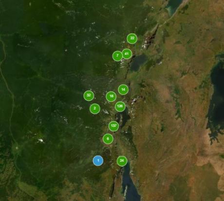 Web-GIS HARISSA
![]()