HARISSA
Natural HAzards, RISks and Society in Africa: developing knowledge and capacities
Experience in recent years has taught us that, in Central Africa, natural hazards and the associated risks, although still poorly studied, have a significant negative impact on development.
Objectives
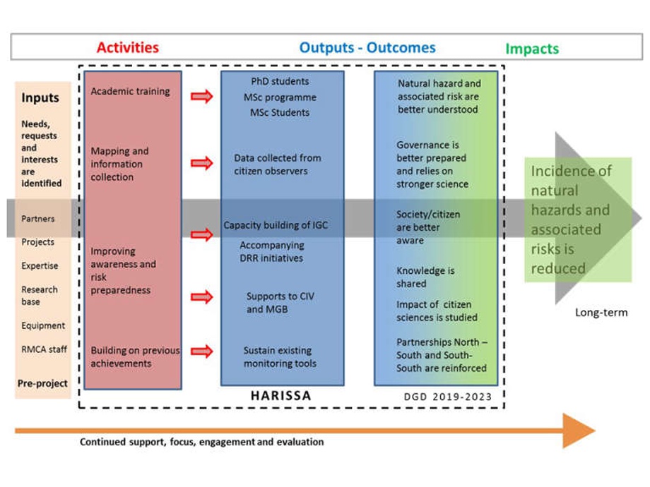
HARISSA's long-term overall objective is to contribute to reducing the incidence of natural hazards and associated risks in Central Africa and in particular in the western branch of the East African rift system, in DRC, Uganda, and Burundi.
The project aims to develop knowledge, expertise, awareness and support for local, national and regional initiatives by following four specific objectives: 1/ academic training, 2/ mapping and citizen science to better document natural hazards and associated risks, 3/ improving awareness and risk preparedness, and 4/ consolidating previous achievements. The achievement of these objectives is based on the strengthening of key institutions in these domains. The project aims to target the wide range of stakeholders concerned by natural hazards and associated risks, from academic or research groups to citizens and policy makers. The project will also look at the impact of citizen-science on development.
Partnerships
HARISSA is a 10-year project (2019-2029) funded by the Belgian Development Cooperation (DGD). The project is coordinated by RMCA in partnership with, in DRC, l'Institut Géographique du Congo (Kinshasa and Goma), the Goma Volcano Observatory, le Centre de Recherche en Sciences Naturelles, l'Université Officielle de Bukavu, l'Université de Goma and the Civil Protection (North and South Kivu), in Burundi, l'Université du Burundi, and, in Uganda, Mbarara University of Science and Technology (MUST).
Activities
-
Training
Doctoral training in support of partner institutions
- 7 PhDs with UOB, CRSN, UNIGOM, GVO, UB, MUST
- 3 masters with CRSN
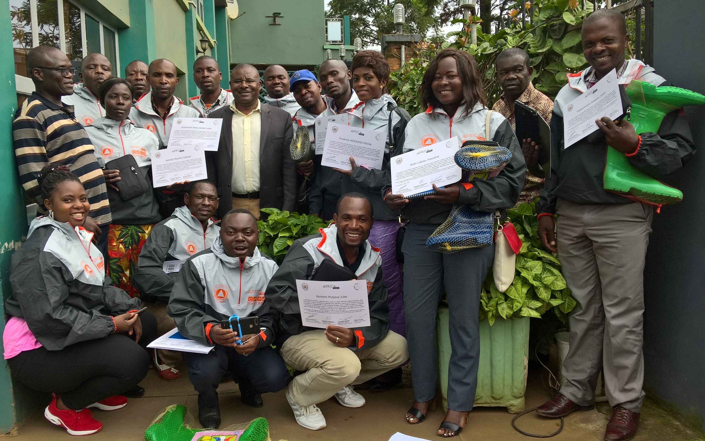
Implementation of a Citizen Observer network for the collection of basic data on natural hazards and associated disasters
- Under the coordination of CRSN in DRC, this network relies on collaboration with the Civil Protection of North and South Kivu, and as such also contribute to support disaster risk reduction.
-
Institutional support for disaster risk reduction (DRR) and risks awareness
- A regional workshop organized by the Civil Protection of South Kivu province (DRC).
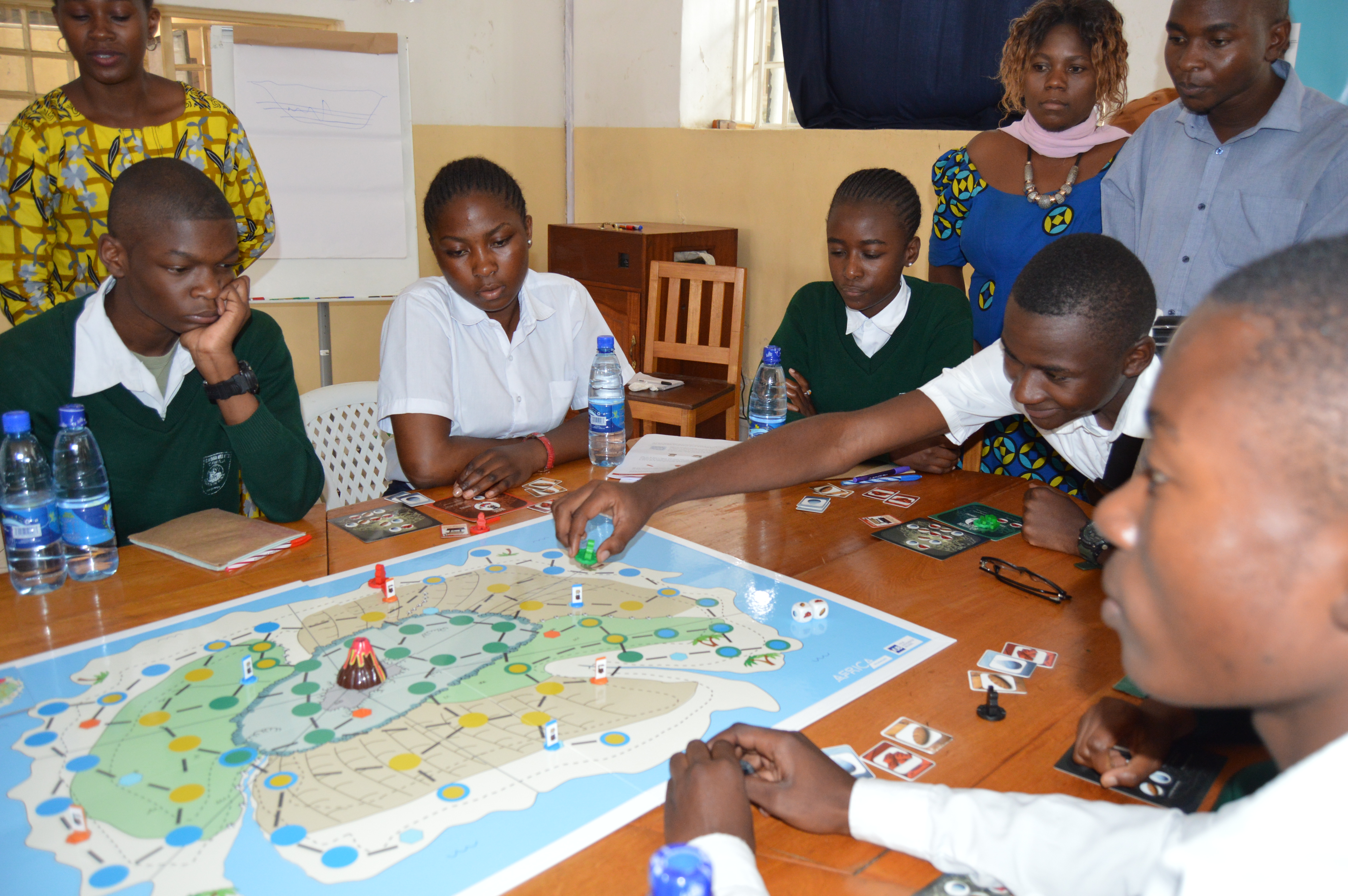
- Awareness-raising activities by the Civil Protection in schools of North Kivu using an educational game developed by the RMCA and the VUB (HAZAGORA).
- Reinforcement/implementation of two educational centers on natural hazards and associated risks in Goma and Bukavu: at the Goma Volcano Observatory, the Volcano Museum; and at the Université Officielle de Bukavu, the Centre d'Information et e Recherche sur les Risques Naturels (CIRRiNa).
-
Institutional support to the Institut Géographique du Congo
- Support for archiving and inventorying collections in Kinshasa
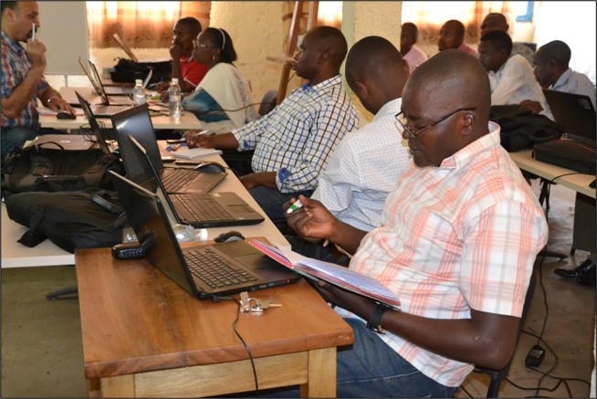
- Training in digital cartography (GIS)
- Development of thematic projects focused on the updating of administrative maps :
o Administrative maps of all provinces and cities.
o Atlas of Goma
o Thematic mapping. -
Consolidation of previous achievements
- Maintenance of tools and methodologies developed in previous projects
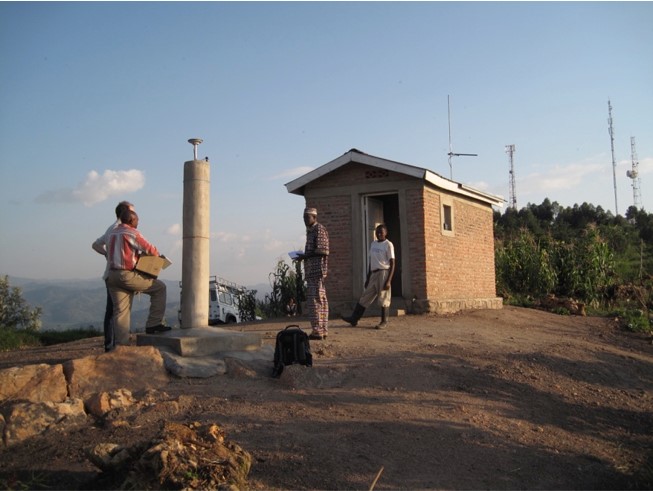
- Until 2022, GVO, CRSN and UOB participate in and maintain one of the densest seismic observation networks in Africa.
- Until 2022 (end of collaboration and dismantling of the network), seismic and GPS data are transmitted in real time to the GVO.
- Until 2022 (end of collaboration and dismantling of the network), the monitoring of the volcano is complemented by satellite observations carried out at the ECGS/NMNH in Luxemburg and at the RMCA.
- Rain gauge network is maintained in DRC by CRSN and UOB.
Project description also available on the AfricaMuseum website.
![]()