The GeoRiskA team
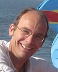
François KERVYN, head of the GeoRiskA team - francois.kervyn (at) africamuseum.be
François Kervyn is a remote sensing geologist, collaborating with scientific and policy making institutions in Central Africa. He is devoted to the development of partnerships and collaborative research with key institutions, therefore contributing to the reinforcement of risk awareness.
AfricaMuseum website
ResearchGate
Google Scholar
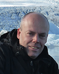
Olivier DEWITTE, senior researcher - olivier.dewitte (at) africamuseum.be
Olivier Dewitte is a geographer with a broad knowledge and understanding of processes and quantitative research methodologies in geomorphology, natural hazards, and land degradation.
AfricaMuseum website
ResearchGate
Google Scholar
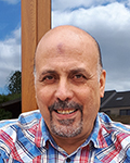
Mohamed LAGHMOUCH, senior researcher - mohamed.laghmouch (at) africamuseum.be
Mohamed Laghmouch, geographer, geologist and GIS expert, is focusing on GIS project setup and development. He works on the valorization of geo-archives that he exploits in GIS projects integrated in the research activities carried out by the team. He has also developed an expertise in GIS capacity building through specific mapping applications and projects.
AfricaMuseum website
ResearchGate
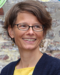
Caroline MICHELLIER, senior researcher - caroline.michellier (at) africamuseum.be
Caroline Michellier is a geographer specialized in vulnerability and risk assessment of the population facing geohazards, particularly in data-scarce contexts. She has developed intensive collaborations with scientific institutions and decision-makers in Central Africa, and contribute to risk awareness raising with contextualized tools.
AfricaMuseum website
ResearchGate
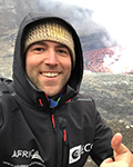
Benoît SMETS, senior researcher - benoit.smets (at) africamuseum.be
Benoît Smets is geoscientist working in the field of remote sensing, photogrammetry, geohazards and volcanology. His current research focuses on the use of optical and radar imagery to study geohazards and their interactions with urban environments. He has also developed an expertise in the understanding of volcanic, magmatic and tectonic processes associated with the Lake Kivu rift basin and Virunga Volcanic Province, in the western branch of the East African Rift System.
AfricaMuseum website
Google Scholar
Personal website
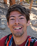
Antoine DILLE, post-doc researcher - antoine.dille (at) africamuseum.be
Antoine Dille is a physical geographer. His current research is focused on the investigation of the mechanisms and spatio-temporal dynamics of landslides in urban-sprawling contexts of the tropics. The research focuses specifically on the rapidly expanding city of Bukavu, situated along the Lake Kivu in DR Congo. This study deals with state-of-the-art remote sensing satellite data (Synthetic Aperture Radar, Very High-Resolution Optical imagery...), ground-based measurement techniques (Unmanned Aerial Vehicle, DGPS measurements,...) and a field-based geomorphological mapping. This research will serve as a support for forecasting and risk management systems in the Kivu region.
AfricaMuseum website
Google Scholar
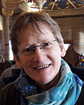
Evelyne GILLES, Technical support Map library - evelyne.gilles (at) africamuseum.be
Evelyne Gilles ensures the follow-up of the map archive and aerial photography collection. She is also in charge of the lab printing facility.

Toufik MOUSSOUNI, Technical support - toufik.moussouni (at) africamuseum.be
Toufik Moussouni is providing support to GIS activities and aerial photograph scanning.
