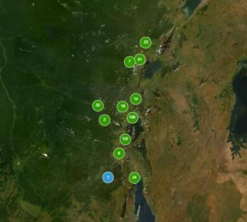
The HARISSA web-GIS on natural hazards and associated disasters online!

Based on the natural hazards and associated disasters data collected by the Citizens Observers (CO) of the HARISSA project, a web-GIS has been developed.
2022-01-14
The web-GIS is accessible under the Collection management page. It presents the natural hazards and associated disasters data collected until September 2021. Regularly, additional data will be uploaded in the web-GIS. This new platform gives a fist insight of the natural disasters occurring the Kivu region.
To know more about the Citizen Observers of the HARISSA project, go to this page !
To know more about the HARISSA project, go to this page !
