GeoKivu project

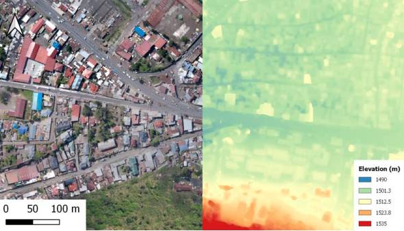
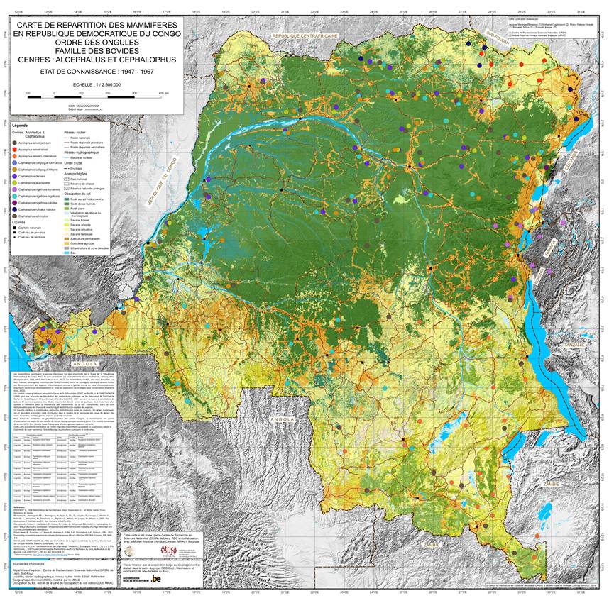
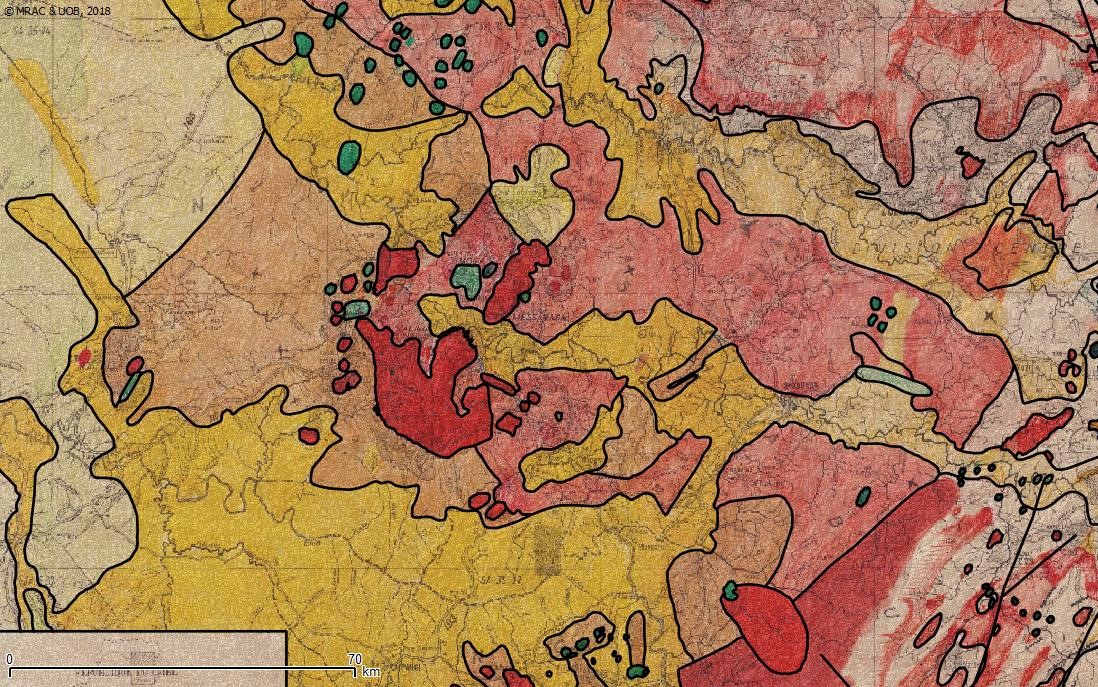
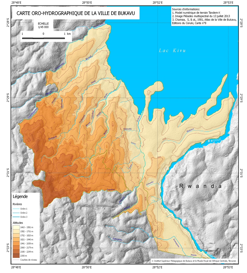
GeoKivu is a project funded by the Belgian Directorate-General for Development Cooperation and Humanitarian Aid (DGD). This project aims to safeguard and valorise the archives of the Royal Museum for Central Africa (RMCA) and partner institutions in Kivu. The geolocatable archives of these institutions (maps, reports, memoirs, etc.) are inventoried and encoded in a geocatalogue of metadata that can be consulted online. As part of the reinforcement of the partners' expertise, each institution develops a specific GIS application with the objective of enriching regional and local knowledge in different fields (earth sciences, geography, zoology).
GeoKivu was born out of the many exchanges that the Royal Museum for Central Africa has with Congolese partner institutions in the provinces of North and South Kivu. These collaborations, established since 2012, have already had important scientific spin-offs in the framework of applied scientific research projects (GeoRisCA, RESIST, virungas-volcanoes, etc.), or scientific cooperation and expertise development (for example S1-RGL-GEORISK).
From these different activities, the need to address the valorisation of the documentary collections concerning Kivu and present both in these Congolese institutions and at the RMCA has gradually emerged.
THE APPLICATIONS
THE GEOCATALOGUE
The geocatalogue was developed within the framework of GeoKivu. It presents the metadata of several thousand documents archived in the partner institutions (ISP, UOB, CRSN, IGC, MRAC). This geocatalogue is currently in the development phase and receives frequent updates.
==> To the Geocatalogue webpage
CONSORTIUM
For more information, please visit the GeoKivu website.
Project description also available on the AfricaMuseum website.

